|
| MT
HWY 21 continues to follow Lewis' trail as far as Simms MT. 7/9/06:
Heavy rain slowed their progress, so they stopped at noon for a fresh
buffalo meat meal - the first since they left the plains in 1805.
"the day continuing rainy and cold I [Lewis] concluded to remain
all day." - south side Sun River at Simms Creek, a mile north
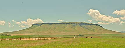
of Simms MT. HWY 21 joins HWY 200 here into Great Falls. Top right,
a close look at the west face of Square Butte (Lewis' "Fort Mountain")
south of Ft. Shaw on HWY 200. See lct90
for his close view in 1805. On 7/10 the squad made 24 miles and camped
4-5 miles NW of Great Falls. July 11, they stayed on the west bank
of the Missouri, across from White Bear Islands and Upper Portage
Campsite(1805). See lct79. Lewis noted,
"... there were not less than 10 thousand buffaloe ... arround
that place." They used buffalo skins to make canoes to cross
the Missouri on the 12th. |
|
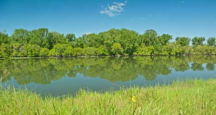
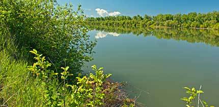
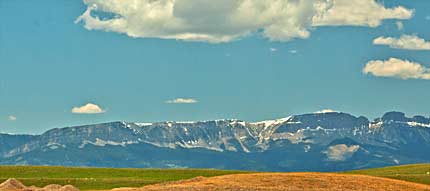
| Scenes
along Sun River as Lewis moved down river July 9-10, 1806. Looking
back, northwest, the Rocky Mountains were fading into the distance,
above. Sun River, top left, calmly flows east, between Simms and Great
Falls MT, toward its meeting with Missouri River. Right, Sun River
drifts from the northwest on its journey to the Missouri. Lewis may
have enjoyed similar scenes in July 1806. |
|
|