|
|
|
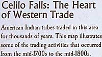
| An
interpretive sign at Wishram Overlook describes the general area around
Celilo Falls as "Wyam." A detailed map shows a village of
that name on the Oregon (south) side of the falls. The configuration
of the falls, beyond the village depiction, far left, places this
village on the north or Washington side. I'm guessing this is "Wapaykt"
village (see map on page 269). Maybe Clark
had trouble trading for horses here because the wealth of this widespread
goods exchange had inflated the value of all merchandise. By then
he had little of value left. |
|