 |
 |
 |
 |
 |
| Lewis & Clark Trail |
| Rocheport - Moniteau Bluffs MO |
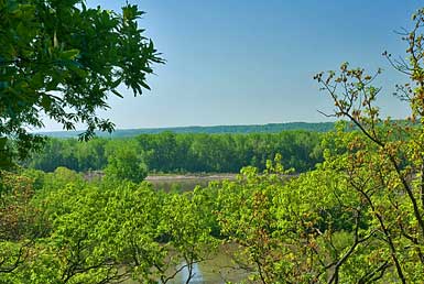
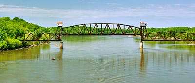
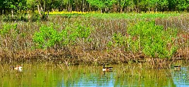
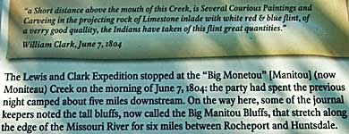
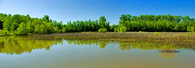
| Rocheport is on the north side of the Missouri so I crossed on I-70 west of Lupus. The information sign notes the attention the captains paid the bluffs. Top right, an old drawbridge on the Missouri at Rocheport. The bodies of water in the other photos, right,are sustained by seasonal Missouri flooding. The river, above, flows along the southern boundary of the Diana Bend Conservation Area. The Moniteau Bluffs are part of it. |
| lc main page | maps |