 |
 |
 |
| Lewis & Clark Trail |
| Rocheport Missouri |
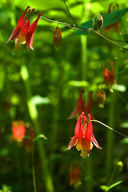
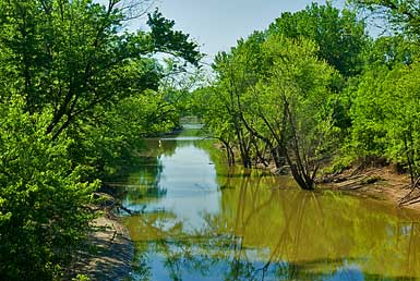
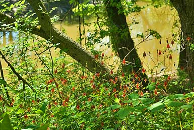
| Moniteau Creek runs into the Missouri east of the bluffs. Clark measured its mouth at 30 yards wide. Meanwhile Lewis took a crew 2-4 miles up the creek and found some salt springs. Clark surmised it would take 4-6 hundred gallons of this water to make a bushel of salt. Photos: Moniteau River flowing to the Missouri and local flowers. |
| lc main page | maps |