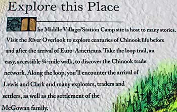
| The
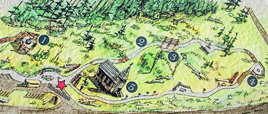
site is easy to visit, following the short trails, using the observation
platforms at each end for great views of the Columbia River and Baker
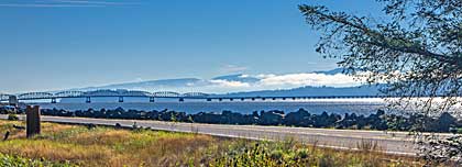
Bay. The Astoria-Megler bridge spans the river, above. Captain Clark
used this site to record the exact geographical position of the Columbia
River estuary, and Station Camp. There's a spot near the Contact Overlook
(#4) where Clark made his calculations. Clark recorded: "Latitude
of this Place is 46 (degrees) 19' 11 1/10" North." Snowberries
grow along a trail in the park, above. Lewis first described them
in Idaho in 1805. |
|
|