|
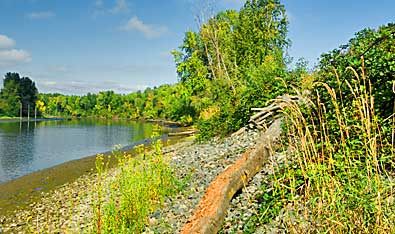
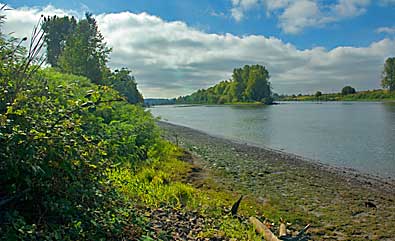
According to Clark's map and current archeological evidence, the
Cathlapotle village stood on the river bank where Lake River and
the Columbia meet. This point is at the north end of the refuge's
Carty Unit. Top left, Lake River runs north toward the confluence
with the Columbia and the village site. Right, view south along
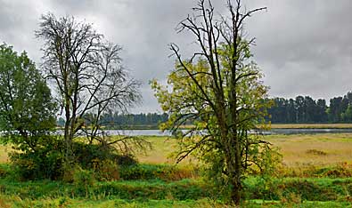
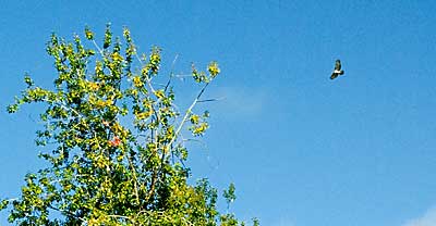
Lake River. A hawk searches for lunch, above. The Corps camped west
of Carty Lake, top right, on their return, March 29, 1806. They
watched Cathlapotle women collect wapato from the bottom of Carty
Lake.
|