|
| Back
tracking from Celilo State Park, heading east on I-84 to Biggs OR,
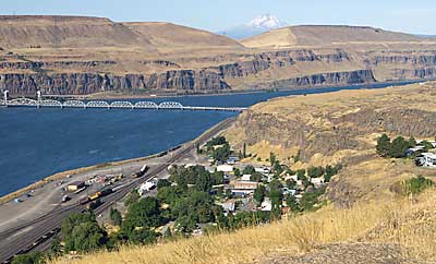
I crossed the Columbia River on US HWY 97. I turned west on WA HWY
14 to an interpretive sign above Wishram, top right. Mt, Hood appears
through the haze in the background. Celilo Falls is submerged here.
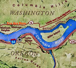
The map, left, traces part of my route from Celilo Village east and
north to this spot on HWY 14. Clark describes the Celilo Falls portage
on this side of the Columbia. "we...took every article except
the Canoes across the portag [on the north side] where I had formed
a camp on ellegable Situation for the protection of our Stores from
Thieft..." The canoes were lowered with elk skin ropes on the
falls' south side. |
|