| From
Maryhill State Park I followed US HWY 97 south, crossed the Columbia
River, to Biggs. Then I turned west again on I-84 to the confluence
of the Deschutes River and the Columbia. Lewis and Clark explored
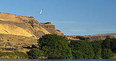
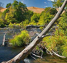
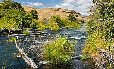
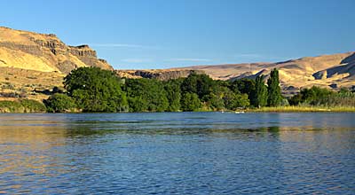
about a quarter mile up the river on October 22, 1805. The top right
photo, and the one above, ere near the confluence. You take OR HWY
206 up the east side to access a trail, up the river, in the Deschutes
River State Recreation Area. Top left, and bottom right photos are
from the campground, in the area where they explored. |
|
|