 |
 |
 |
 |
 |
| Lewis & Clark |
| Lewiston Idaho |
| Trail |
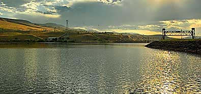
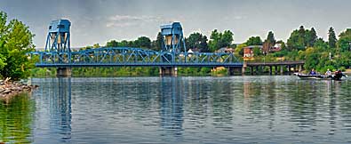
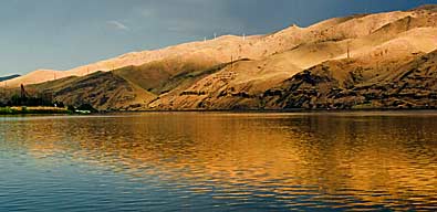
| These rivers are much wider now with dams down river backing up the water. Top center, the Clearwater flowing in from the east. Center, the Snake flowing from the south, under the US HWY 12 bridge, connecting Lewiston with Clarkston Washington. Bottom center, the combined Snake River flowing west. |
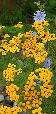
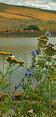
| Native plants grow around the Lewis and Clark Center. You can get a good look at both rivers from the smooth asphalt walkways and the pavilion. Clark estimated the mouth of the Snake River was "about 250 yards wide" and the Cleawater " about 150 yards wide." |
| lc main page | maps |