|
|
| From
Calumet Bluff, I followed Hwy121, south to NB Hwy 12. Turning west
took me to Niobrara State Park to see the Niobrara River's confluence
with the Missouri. The rivers are fairly natural here compared to
just downstream on the Missouri where Gavins Point Dam has created
Lewis and Clark Lake. An interpretive kiosk explains the two rivers
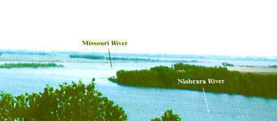
and the Corps' stay here. Top left a sign shows an aerial view of
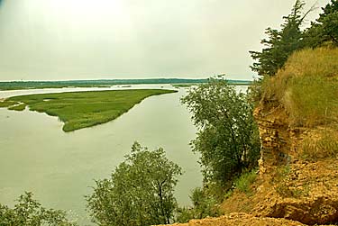
the confluence. Below that is my view from an old railroad - now footbridge
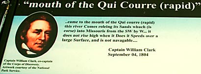
- across the Niobrara. Left, Clarks journal entry about the river.
Their campsite here is marked on the park map but was overgrown with
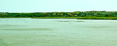
trees. Above, a view of the confluence area from across the Missouri
on the South Dakota side. |
|
|


