Independence
Valley proved to be a wide basin with compacted, cracked, sand. We
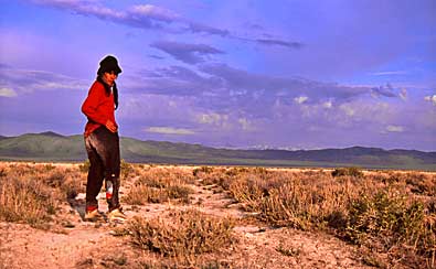
bivouacked south of an area named Alkali Flat on our map. Connie Simpkins,
above, examines old wagon ruts on HCO, heading west toward Spruce
Mountain Ridge in the distance. Right, Tina Bowers and trek leader
Lee Bergthold (in the background) get ready to move out toward snow
mantled Spruce Mountain, shining in the morning sun.
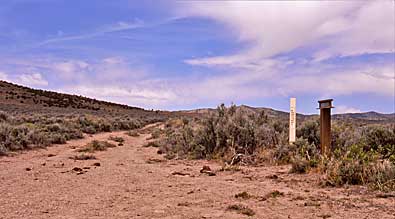
The signs, top right, stand beside the old road that follows HCO west
across the valley toward Spruce Mountain Ridge. The white one marks
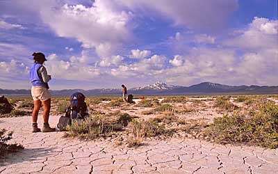
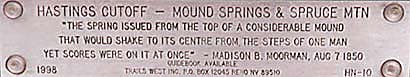
HCO. The r.r. segment plaque, above, describes the springs. I searched
the area thoroughly but found no spot that fit the description. Maybe
the water table is much lower now. I didn't even see the dark area
of the spring seen in old photos. The Donner Party camped at the springs
September 14, 1846, after a 14 mile day from "Mad Woman Camp."
- J. Reed estimate. |
|
|