|
|
|
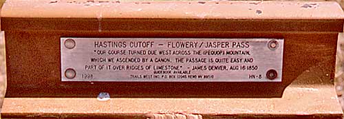
| I'm
not sure about the double name for this Pass. Current Nevada maps
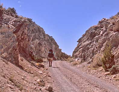
name it Flower Pass. Once across the pass, pioneers stared down at
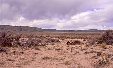
another dusty valley and wall of mountains on the far side - now Independence
Valley and Spruce Mountain Ridge, left. The were being introduced
to the basin and range geography of the future state of Nevada, made
famous by John McPhee in a book with that title. The plaque, top left,
stands at the top of the pass. These trail markers, provided by Trails
West Inc. of Reno Nevada makes it easier to follow the trail. There
are some segments as wild as they were in the 1800's. We would have
had the same difficulties as the pioneers without these rail segment
plaques and other trail markers. Fellow HCO trekker, Tina Bowers,
reaches the top of the pass, above. Our four person team topped Flower
Pass on May 12, 2006, five days after our start near Donner Spring,
Utah. The Donner Party crested the pass on September 14, 1846. |
|