 |
 |
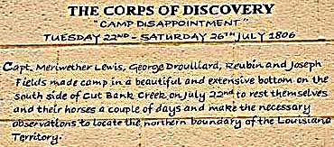 |
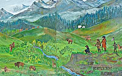
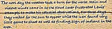
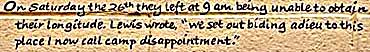
| This
series covers the original goal of the excursion: To see if 50 degrees
latitude would be the border of the newly acquired Louisiana Purchase.
Lewis Cut Bank Creek might have its source in that latitude. The left
scene is a little romanticized. Lewis found no game and ate "...a
kettle of mush [and] a few pigeons fortunate enough to kill."
The Cut Bank area is one of the few places to see the actual return trail locale. |
 |
 |
| Lewis Return Trail |
 |
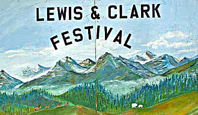
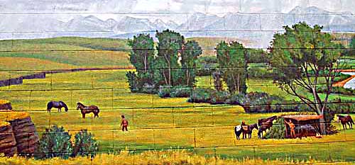
| US Highway 2 runs through Cut Bank MT as Main St. The buildings along Main are splashed with murals commemorating the Lewis passing up the creek through here. Their two main activities in the area are documented in the artwork. The festival took place July 31, 2010 when I was there. |
| lc main page | map |