 |
 |
 |
| Lewis & Clark National Historic |
| Trail Interpretive Center |
| Lewis & Clark Trail - Montana |
| Great Falls |
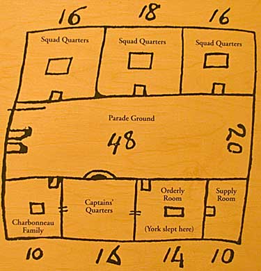
| Captain
Clark drew a rough sketch for constructing the Pacific Coast fort,
Ft Clatsop. The exhibit, above is an enlarged facsimile of his plan.
By this time The Corps had two previous forts under its belt - DuBois
and Mandan. This schematic closely resembles the Ft DuBois floorplan.
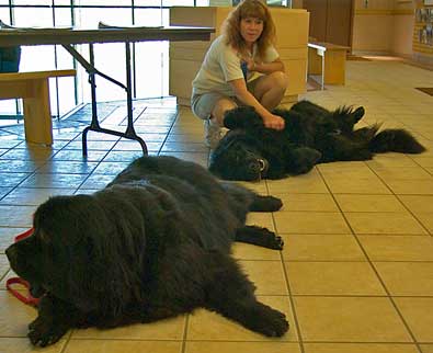
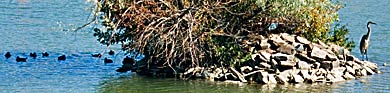
Ft Mandan's outer walls angled in at the back, otherwise the room placments were similar. Top right, two Newfoundland dogs playing Seaman. Right, Mo river scene. |
| lc main page | maps |