|
|
|
| Missouri
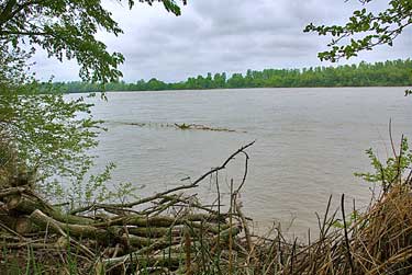
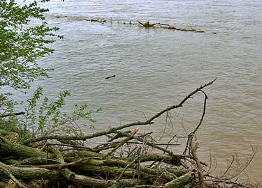
HWY 224 follows the south side of the Missouri River from Lexington
to Napoleon. The town is far from either the June 21 or 22 campsites.
One situated far east of it and one far west of it. The June 21 site
is in a great north bend of the 1804 river. It's well away from any
major road and most likely in a farm field with no sign. The Corps
waited out a morning thunderstorm on the 22nd before starting a 10
1/2 mile voyage to the June 22 camp. Trees continued to float down
the river. Conditions were probably worse than these photos show.They
were recorded at about the same time of the year as the Expedition's
passing. The Army Corps of Engineers have more control over the flow
of spring runoff. Dams and a straightening of the river channel help
mitigate the damage. However, I did see a lot of flooding and drifting
debris in May and June of 2008. |
|
|