| The
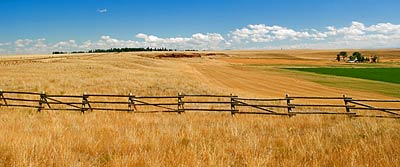
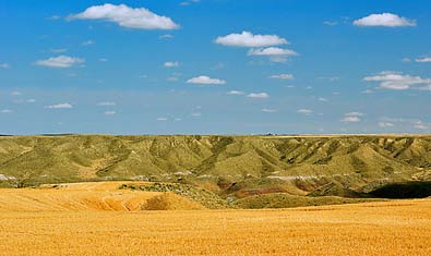
top two photos show the country over which the portage route was worked
out by Captain Clark and his team. I was standing in the parking lot
and information area for the portage. It's on Salem road before getting
to Belt Creek. Top left, looking west in the direction the portage
would go. Top right, looking east toward the Belt Creek ravine, tucked
below the far row of hills. The plains are now wheat fields, but the
flatness is much the same as the Corps saw them - deceptive because
of hidden ravines. The portage route circled away from the Missouri
River to get around these hidden chasms. The route crossed 10th Avenue
South, above. The portage sign, three pages back, stands street side,
here. The sign, right, is at the Salem Road parking and information
area. |
|
|