 |
 |
 |
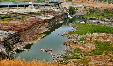 |
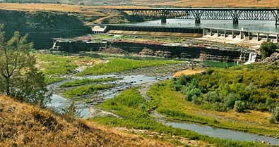
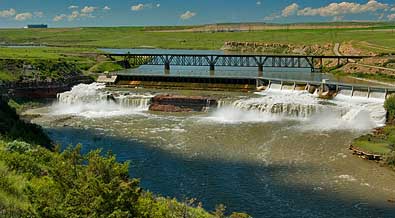
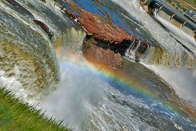
| I stopped at the Rainbow Falls Overlook, left, and right, in June , with flowing water, and in September with no water. Along the River's Edge Trail to Crooked Falls, I looked back and snapped the same scene in June, top right, and in September, top left. It was interesting to see the rock formations underlying all the falls. The dams at each falls were carefully constructed to retain its integrity as much as possible while producing 220, 000 KW of power (including 2 other dams). |
| Lewis & Clark Trail - Montana |
| Great Falls |
| lc main page | maps |