|
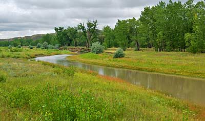
Top left, the Teton River, running left to right toward its meeting
with the Marias River. It became a reference point for both Captains
during their search for the true Missouri. They envisioned it as
the middle river between the main branches of the Missouri and Marias.
Later, in 1806, on the return journey, Captain Lewis would use it
as a reference point on his way to explore the upper Marias. I followed
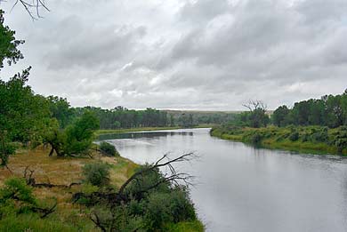
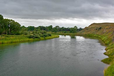
MT HWY 223 north, from Fort Benton, roughly 40 miles north, where
a bridge crosses the Marias - some 60 miles as the crow flies -
from the confluence with the Missouri. Photos from the bridge: Left,
the Marias flows toward the bridge; above, the river passes under
the bridge and continues southeast. Captain Lewis and his team explored
this far (60mi) from the confluence. Sensing that the river turned
too far north, he camped a bit down river from here on June 6th.
|