|
| I
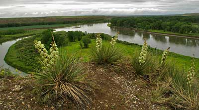
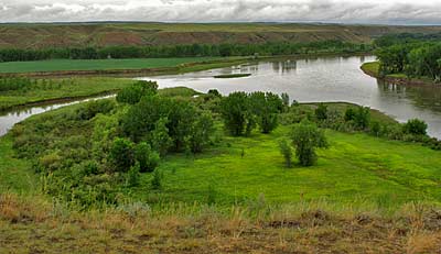
returned to Decision Point again on June 20th, 2009. It was close
to the time of year the Corps spent here. They also experienced days
of endless rain. As you can see, these photos - taken in the rain
- come close to the envionment they experienced from June 2nd to June
12th, 1805. The Marias, named by Captain Lewis "... in honour
of Miss Maria Wood," his cousin, enters the Missouri at the top
left in both photos. It's not the curving stream along the left side,
it's the opening in the bank just to the left of the little island.
As the Corps arrived here, on June 2nd, Lewis reported: "we came
too on the Lard.[left] side in a handsome bottom of small cottonwood
timber opposite to the entrance of a considerable river [Marias]...."
They stayed the night there before crossing to their longer bivuoc
on the point of the Marias' west bank . They would spend the next
eight days exploring and deciding which branch was the true Missouri.
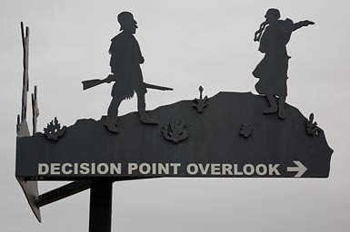
Above photo, trail sign at Decision Point Overlook. |
|
|
|