| Before
entering Loma from the west on US HWY 87, there's a gravel road on
the right. It leads to Decision Point Overlook and the Missouri River.
This is going backwards on the LC Trail. The Corps camped here from
June 2-11, 1805 while trying to figure out which river was the Missouri.
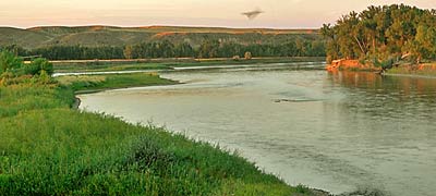
Top left, the confluence from Decision Point Overlook. The Marias
River comes in from the top left in the photo. The Corps first camped
across the Missouri, opposite the mouth of the Marias. Later they
moved to the west bank of the Marias at the confluence. Bottom right,
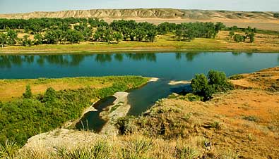
south view, from Decision Point, of the Missouri River. A view of
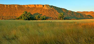
Decision Point, above, from my camp by the Missouri. Top right, a
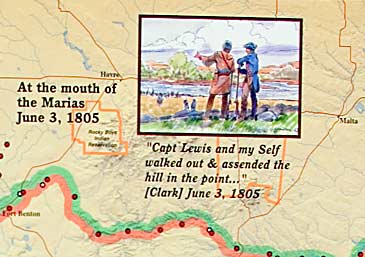
part of the information display at Decision Point Overlook. |
|
|