|
| I
found no way to get near the June 3 camp even though the Corps of
Engineers map showed information signs nearby. I found none. Staying
on US HWY 63 to Jefferson City to photograph the state capitol building.
No L&C sites here. State HWY 179 followed the Missouri out of
Jefferson City on the south side. The river takes a northwest direction
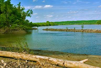
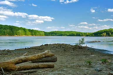
here. The June 4 campsite is not near any road so I drove to the Marion
boat ramp where there was an L&C information sign mentioning the
camp. One branch of the old river followed this same channel. I figured
that the explorers would recognize the terrain here today as similar
to their June 5, 1804 passing. Two fur trappers passed them going
down river. They started from the Kansas River. Unfortunately they
had lost their beaver pelts in a prairie fire. L&C would be at
the Kanasa River 21 days later. |
|
|