|
|
|
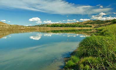
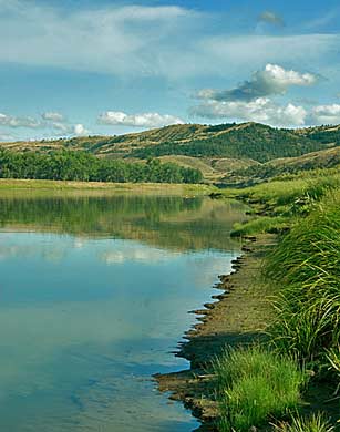
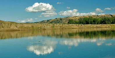
| After
settling in at the James Kipp Recreation Area campground, I explored
the river running right behind the place - blocked by a wall of thick
brush and trees. Thanks to the ever present fishermen paths along
the banks, I managed to move up and down the south shore to record
these images of the Missouri flowing toward Fort Peck Lake. The Corps
rowed up this section of the Missouri on May 24, 1805. Captain Lewis
described the terrain: "The country high and broken...the tops
of the hills covered with scattering pine [,] spruce and dwarf cedar;
the soil poor and sterile..." |
|
|