 |
 |
 |
 |
 |
| Ilwaco Washington |
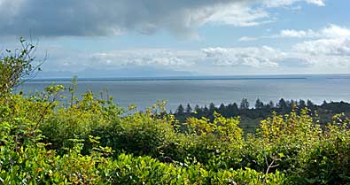
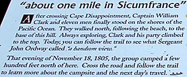
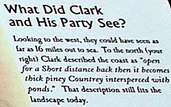
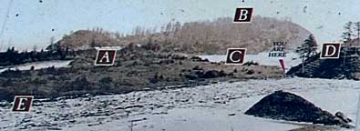
| Top left, the Pacific Ocean from McKenzie Head. Notice how the land extends some distance before reaching the ocean. The interpretive sign photo, right, illustrates how the terrain appeared before the construction of jetties at the Columbia River's confluence with the Pacific Ocean. These jetties allowed the land to build up without the force of currents tearing at it. There was a lot more water and a lot less land when Clark's assemblage climbed to the top of McKenzie Head. |
 |
 |
| Lewis & Clark Trail |
| lc main page | maps |