 |
 |
 |
 |
 |
| Pasco Washington |
| Lewis & Clark Trail |
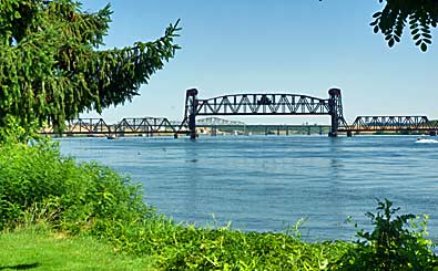
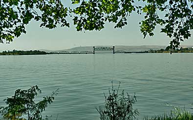
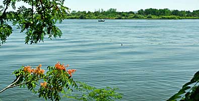
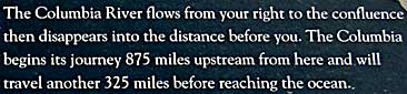
| These signs are placed along the walkway leading to the Sacajawea Interpretive Center. The Columbia River, flowing from the northwest, above, and the Snake River, top left, flowing from the northeast, meet at the park point to form Lake Wallula, left. The lake is the confluence of the rivers. At this confluence, Lewis and Clark were able to explain the geographic separation between the Missouri and the Columbia. Explorers knew them, but thought they were linked. |
| Sacajawea State Park |
| lc main page | maps |