| I
drove back north on US HWY 12 from Walla Walla to Waitsburg and picked
up WA HWY 124 west to return to the Corps's 1805 Snake River camps.
There's a web of back roads from Walla Walla but they lack signs for
directions, so I stayed on the main roads (see map on lct239b).
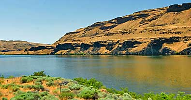
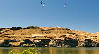
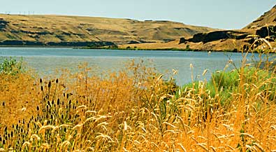
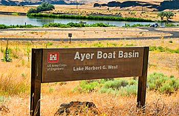
I turned north, on Ayer Road at Harsha and followed it through Clyde
to Ayer. It's 25 miles from Harsha to Ayer. The Corps camped on the
north side of the Snake River, seen in all images, on October 13th,
1805. Clark's journal entry that evening recognized Sacajawea's importance:
"The wife of Shabono...we find reconsiles...the Indians as to
our friendly intentions...." |
|
|
|