|
| The
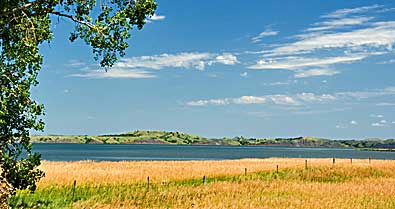
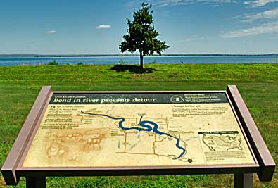
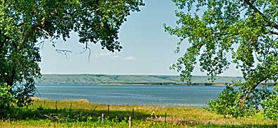
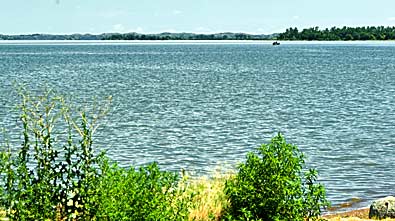
Big Bend of the Missouri flows broader now than when the Corps negotiated
it. The Big Bend Dam, down river near Ft. Thompson, has backed the
river up to form a lake. The lake has inundated the river bottom that
they saw. The hills on the spit of land (in the distance) still look
much the same as in 1805. The two photos, right, show the view east,
toward the spit, from the recreation area. The two, above, show the
view east. There's a dirt road south from the recreation area that
gives you a closer look at The Narrows, top left. The recreation area
is surrounded by the Crow Creek Indian Reservation. The fences, above,
signal private property. |
|
|
|


