 |
 |
 |
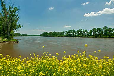 |
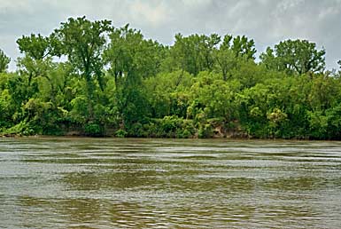
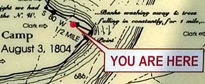
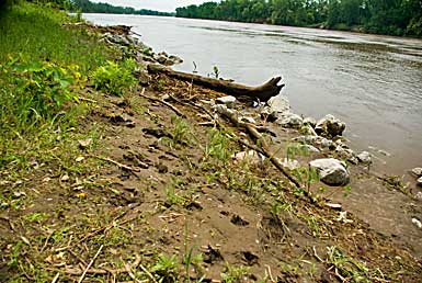
| The refuge, on the east side of the Missouri, is actually in Nebraska. The border follows a remnant oxbow of the early river. The present river runs along the southwest side of the refuge. Top left, high water erodes the river bank similar to Clark's map note; left, looking down river; above, animal tracks along the river bank. I took US HWY 75 north to Blair NB from Ft. Atkinson and US HWY 30, east, to the refuge. |
| Lewis & Clark Trail |
| lc main page | maps |
| DeSoto National Wildlife Refuge |