 |
 |
 |
 |
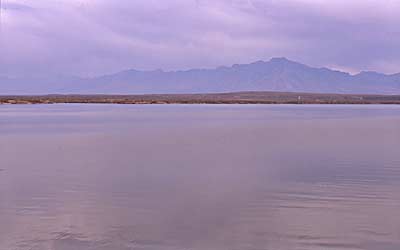
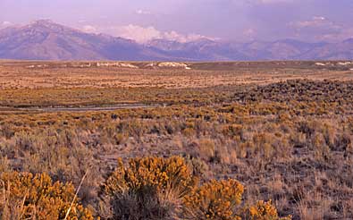
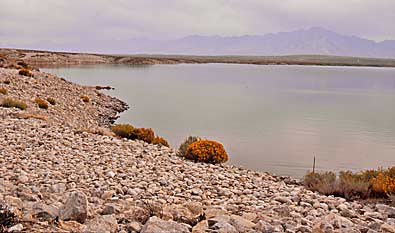
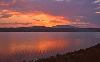
| The calm surface of the reservoir belies the narrow, twisting canyon below. The remainder of South Fork Canyon and River still exists north of the dam. Top two images; The Ruby Mountains, with the range's highest peal, Ruby Dome. They appear through the haze, south east of the reservoir, and over a rabbit brush studded plain. Left, sunset west of the reservoir. HCO runs under east side reservoir water, above. |
| Hastings Cutoff |
| South Fork Reservoir |
| hco main page | map |