 |
 |
 |
 |
 |
 |
| Lewis & Clark Trail |
| Weippe Idaho |
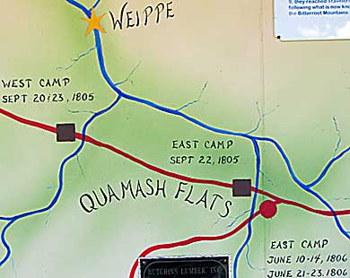
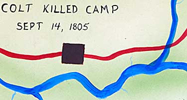
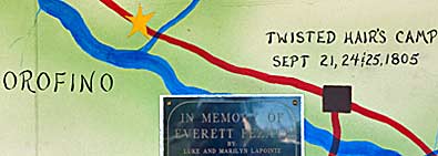
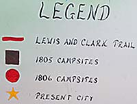
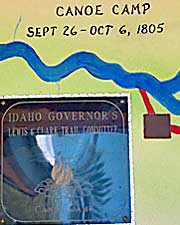
| A hand painted map of the Lolo Trail threads through the scenes in the murals. These are samples of the manner in which each campsite is displayed. The blue lines represent the rivers. They aren't labeled but can be identified by journal descriptions of each camp. The larger blue line, left and above, represents the Clearwater River. Top right are Crooked Fork and Colt Killed Creek joining to form the Lochsa River. The one near West Camp, top left, is Lolo Creek - not the east one. |
| lc main page | maps |