|
| Much
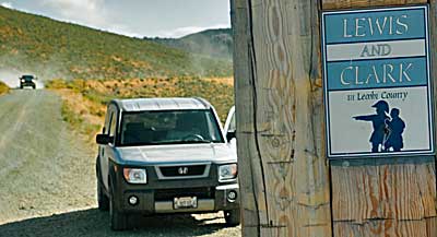
like Lewis, we must make a decision: which way should we go down the
western slope of Lemhi Pass? A rough dirt road, recommended for 4
wheel drive only, follows Agency Creek down the south side. The bottom
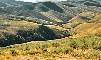
left image on page 148 shows that road from the pass. The north side
road has a well maintained gravel surface. It follows Pattee Creek,
top right. Clark would bivouac on this creek (Aug. 19, 1805) on his
trek to the Shoshone camp. At the bottom of the pass, a kiosk stands
in the vicinity of Lewis's contact with the Shoshones. See the loop
road map on the next page. |
|
|
|