|
| Unable
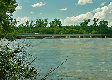
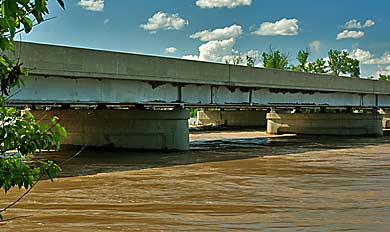
to get to the confluence, I searched for the closest access. This
crossing is probably within 3 miles of the Missouri meeting. The river
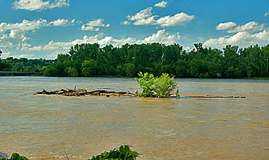
runs high and wide-not the usual shallow depth. Captain William Clark
described the Platte as he passed on July 21, 1804: "...passed
many Sand bars opposit or in Mouth of the Great River Plate this river
which is much more rapid than the Missourie ha[s] thrown out imence
quantities of Sand forming large Sand Banks at its mouth and forced
the Missourie Close under S.S. (starboard side). The captains didn't
find trees here as we do today. They decided to continue a few miles
up river to a more favorable campsite with some shade. One of the
French boatmen told them that a village of Oto & Pawnee lived
only a few miles up the Platte River. They wanted to meet these natives
so didn't want to move very far above the Platte. |
|
|
|